Virtual Collaroy main page | Long Reef Beach | Collaroy Rock Platform | Collaroy Beach
As we go North (check the map) our first study area is Long Reef Beach. Compared with Collaroy it's fairly undisturbed because of the problems of building close to the beach. This makes it an ideal place to study some of the natural beach processes and then use this information to compare with what we find at Collaroy. Look at the images we have here, read the information and answer the questions. To help, you can always download a question booklet from here.
Beach Profile
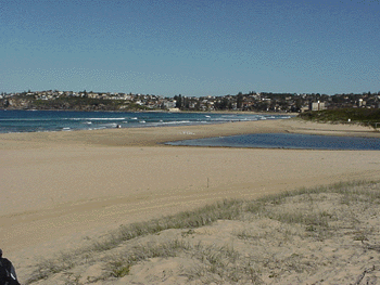
Long Reef Beach is typical of the Northern Beaches. Longshore drift has moved sand Northwards and has created a barrier beach to enclose the lagoon. Behind the beach you will find salt dunes. However on this part of the field work you'll need to study the beach profile (check out this work in Adelaide to show you what can be understood).
A beach profile is a cross-section from sea to dune. Equipment is very simple: all you need is a tape measure and a clinometer to measure the angle. Start in the swash zone and run out the tape until you find that the angle of the beach changes. Record that distance and the angle with the clinometer (you'll find it goes positive and negative depending on whether you're going up or down a slope). Since much of this involves wind erosion you'll need to take wind readings using an anemometer. For a sample sheet and information about using equipment, click here.
Aeolian Processes
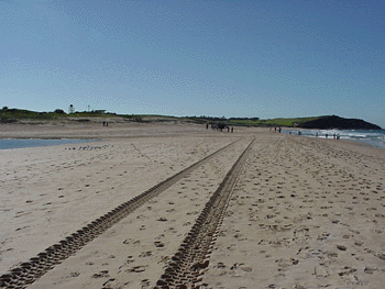
As you can see from this image (which also gives a good idea of the profile!) there's more than just wind moving the particles around. However, it's important to appreciate the natural processes at work.
For the time that you'll be at Long Beach the best idea is to look at the sand dunes and ripples:
Q. What is the direction of the wind as shown by the dune ridges?
Q. how does this differ with your results?
The Development of Sand Dunes
The movement of sand along the beach by water (longshore drift) has created the barrier beach. Movement up the beach (by wind) has helped form a series of dunes which, in this area, are held together by vegetation. This is not stable - it's easily eroded as you'll see as you walk around the area. They're also easy to build on so this tends to be the fate of many sand dunes especially on our Northern Beaches. Wind movement has created a series of parallel dunes. At this stage you need to be able to draw a cross section of the dune area and mark on the vegetation.
To see how these dunes might develop, click here.
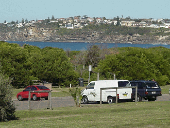
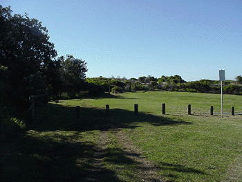
This area has been developing since the early 20th Century. There is little natural vegetation left. The image on the right shows just how much it has changed with natural dune scrub replaced by car parks and grass.
Q. How does the vegetation change as you go inland (species, height and density)?
Q. Do you find any exotic species? Why might they be there?