Virtual Collaroy main page | Long Reef Beach | Collaroy Rock Platform | Collaroy Beach
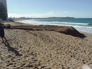
As we go North again (check the map) we reach our third study area: Collaroy Beach.The contrast between this beach and Long Reef's is obvious. Look at the images we have here, read the information and answer the questions. To help, you can always download a question booklet from here.
Storms, storm profiles and beach damage
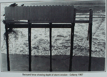
Storms can cause considerable damage to the beach area. Although this is normal for natural beach and dune systems it can cause considerable problems for coastal development as seen in this image of damage in 1967. Fieldwork is often useful as storm profiles don't last!
Coastal Development
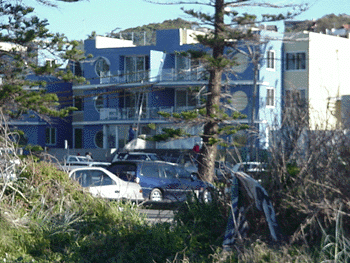
Coastal development is one of the main issues affecting the Collaroy area. The division is between those who wish to limit building and those who see it as important to develop the area. Both sides have arguments on their side:
Q. List 5 arguments each side could make in support of their claim.
Part of this change is due to lifestyle moves.
Coastal management and strategies.
Warringah Council is responsible for this area although much of the planning law is overseen by the NSW Dept of Infrastructure, Planning and Natural Resources. Key coastal development guidelines include:
- SEPP71 - state planning code (but see comments elsewhere)
- Coastal Management Policy
Since this is a Civics issue, perhaps we need to look at tools to examine coastal issues!