 Harbour
East
Harbour
East
Click here to go to the main menu, Harbour West or Pyrmont pages.
Although there are exceptions it is possible to view the development of Sydney as being split by the Harbour Bridge. To the east lies the Eastern suburbs - areas of housing developed largely since the 1940s. To the West of the Bridge is some of the oldest commercial sites in the area. This part is undergoing rapid change from commercial to leisure and residential uses. The changes here are far more marked - the Eastern suburbs, by contrast, have only seen slight movements in housing density and the rise of the apartment block.
These pages are to be viewed together with your field and class notes. To help, each image can be enlarged by clicking on it.
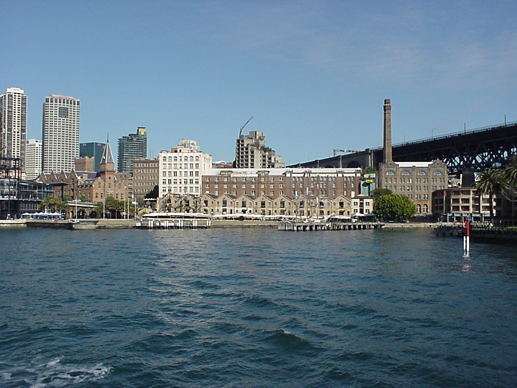
The Rocks was one of the first areas to be settled in 1788. Since that time it has seen an increase in population both in the area and in surrounding suburbs. By the 1900s it was a notorious place for crime and disease. It was allowed to decay until the 1980s when its heritage value was realised. Now the area has been renovated (change of land use from commercial/residential to tourism/residential) and its value as a tourist area is well known.
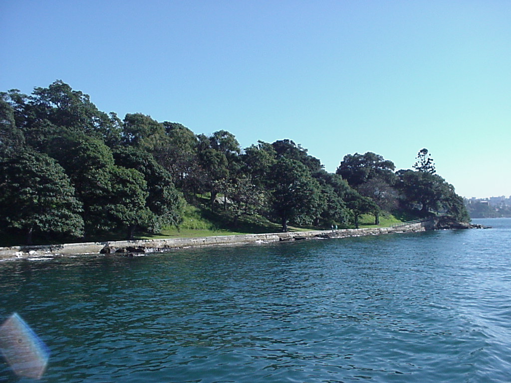
Farm Cove was one of the first areas to be settled. As its name suggests, it was the original farming area. The land remains public open space but developments nearby are subject to restrictions on height so that they don't overshadow the area.
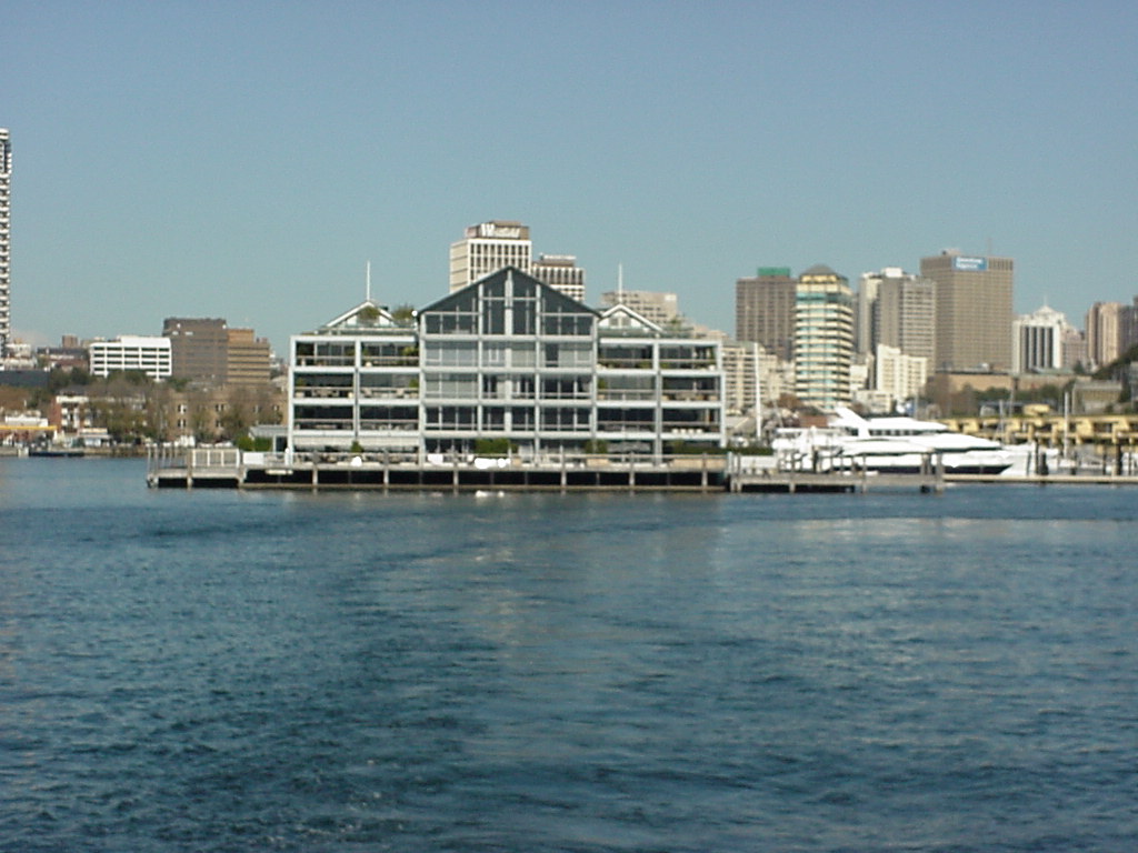
Woolloomooloo was one of the original dock areas. As the docks moved to their present location, great social inequalities grew up. Today, the inequalities are still there between the trendy developments of the waterfront and the poorer housing of the King's Cross area. Note the height of buildings away from the CBD is diminishing.
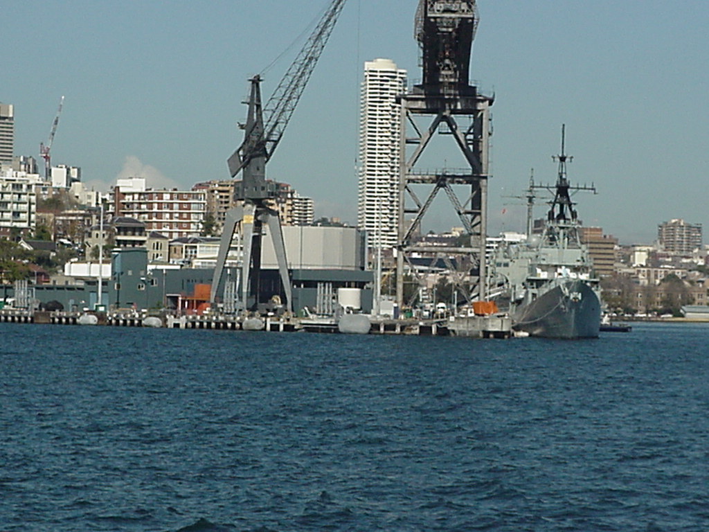
Garden Island is the main Navy base in the Sydney area. There are talks about redeveloping the area and this is the subject of great controversy. Should the area be made open to the public (who own it anyway through the Commonwealth Government) or should it be sold to developers. The current idea is that some areas should be left whilst allowing others to be developed.
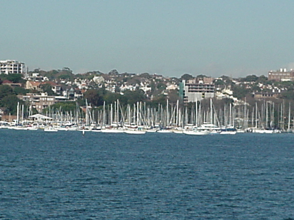
Rushcutters Bay was once one of the poorer areas but the demand for waterfront land has made it a prime location. However, the area is not without problems. Plans for a marina met with protest not least because of the parking problems that would be generated.
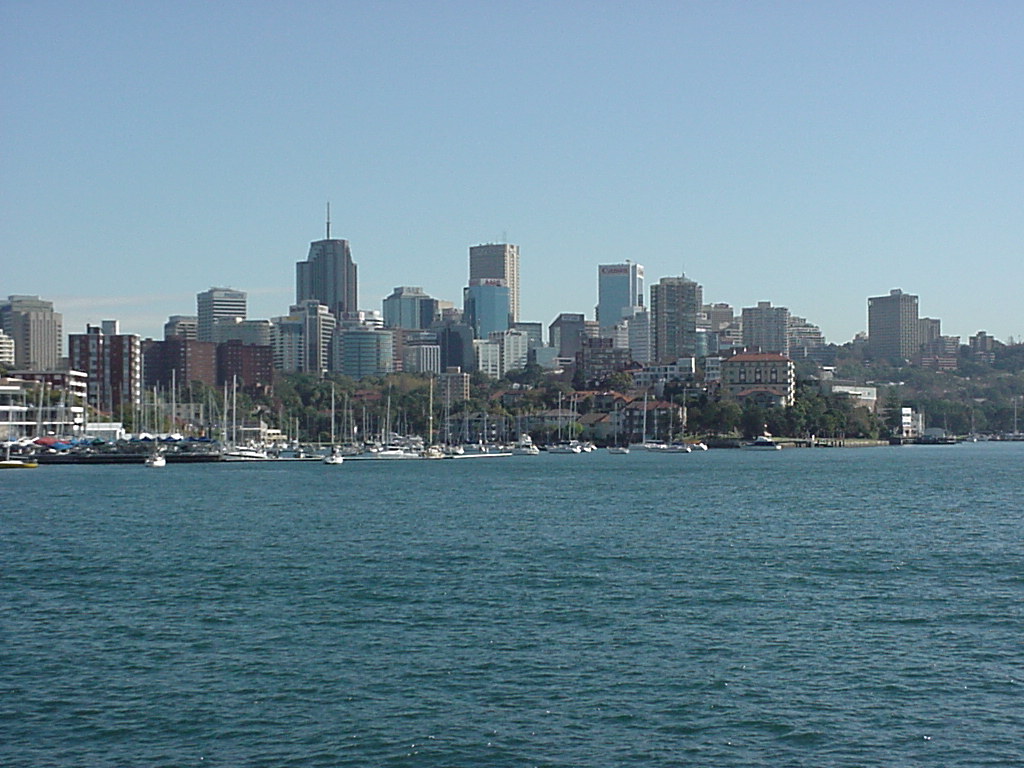
North Sydney was a small village before the opening of the Harbour Bridge. Today it is seen as a CBD in its own right with a distinctive set of businesses (media, high-tech etc.). It is now seen as one end of an IT corridor which stretches from the Bridge to North Ryde and Baulkham Hills.
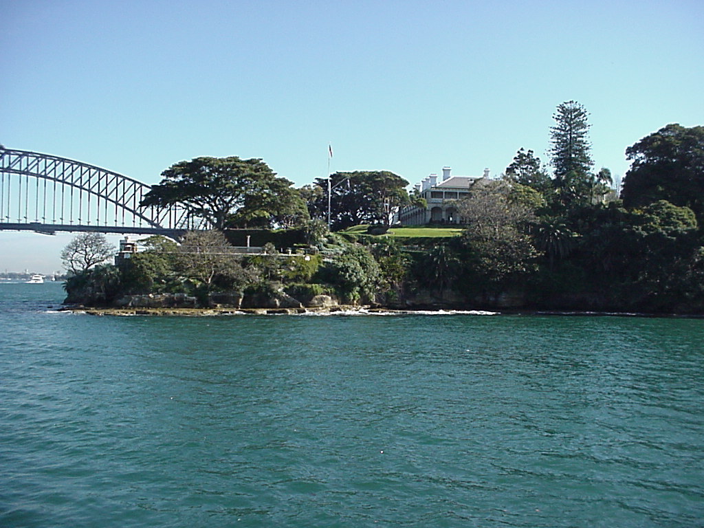
Kirribilli House is the home of the Prime Minister. Now one of the most sought-after locations, the image shows that open space and heritage are part of the foreshore plan for the Harbour.
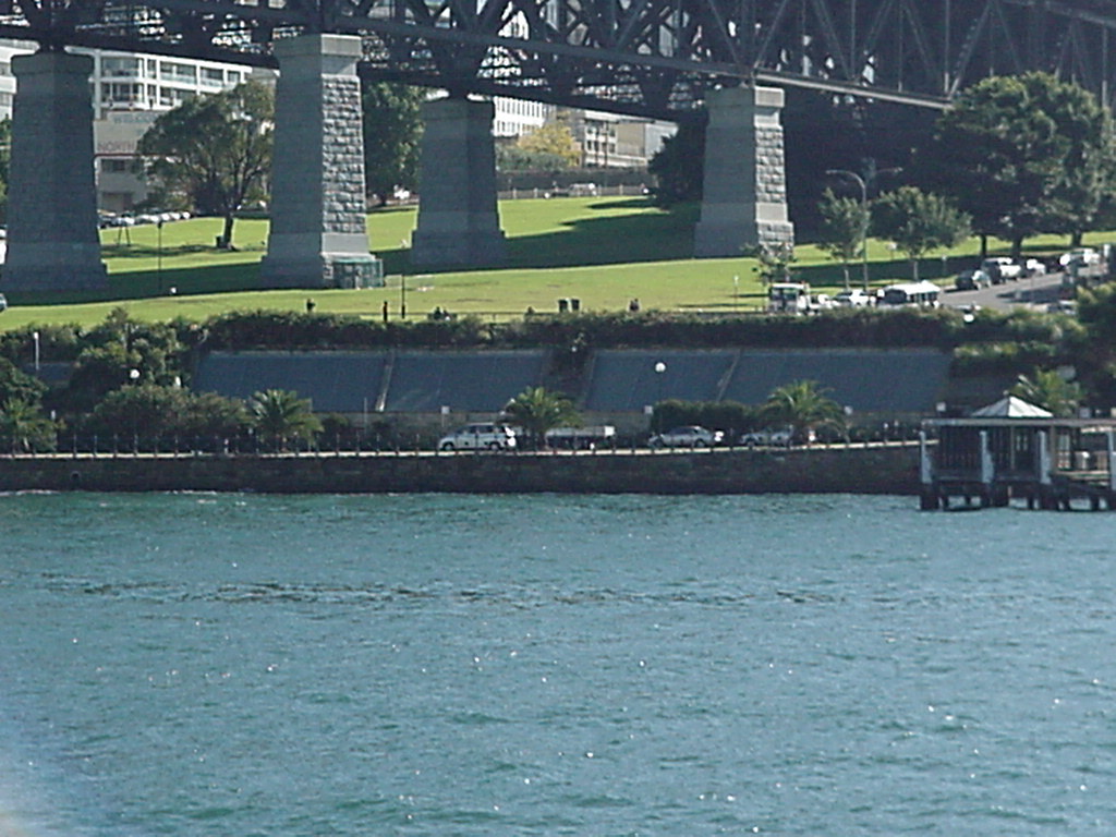
Just on the edge of Kirribilli is the Harbour Bridge and Tunnel. The tunnel was needed to improve traffic flow between the CBD and North Sydney. However, there is still a need to consider pollution as these exhaust vents demonstrate.